
Wezeren topographic map
Interactive map
Click on the map to display elevation.
About this map
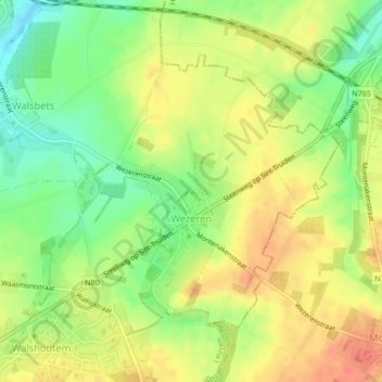
Name: Wezeren topographic map, elevation, terrain.
Location: Wezeren, Landen, Leuven, Vlaams-Brabant, Vlaanderen, België (50.72247 5.09421 50.74176 5.12144)
Average elevation: 98 m
Minimum elevation: 72 m
Maximum elevation: 119 m