
Hattenhof topographic map
Interactive map
Click on the map to display elevation.
About this map
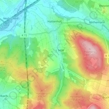
Name: Hattenhof topographic map, elevation, terrain.
Location: Hattenhof, Neuhof, Landkreis Fulda, Hessen, Duitsland (50.43136 9.65150 50.47641 9.70002)
Average elevation: 350 m
Minimum elevation: 267 m
Maximum elevation: 491 m