
Lamalonga topographic map
Interactive map
Click on the map to display elevation.
About this map
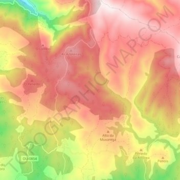
Name: Lamalonga topographic map, elevation, terrain.
Location: Lamalonga, La Vega, Valdeorras, Orense, Galicia, España (42.26626 -6.97787 42.33289 -6.92095)
Average elevation: 1,274 m
Minimum elevation: 875 m
Maximum elevation: 1,529 m
Other topographic maps
Click on a map to view its topography, its elevation and its terrain.
Peña Trevinca
España > Galicia > Valdeorras > La Vega
Peña Trevinca (en asturleonés, Peña Taravinca; en gallego, Pena Trevinca) es la cumbre más elevada de sierra Segundera, que forma parte del conjunto montañoso de los montes de León, en el macizo Galaico-Leonés (España). Se encuentra en el límite provincial de Zamora y Orense, con una altitud según el…
Average elevation: 1,902 m