
Aschhorn topographic map
Interactive map
Click on the map to display elevation.
About this map
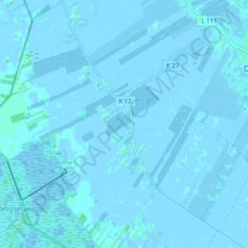
Name: Aschhorn topographic map, elevation, terrain.
Location: Aschhorn, Stade, Niedersachsen, 21706, Germania (53.68049 9.32628 53.72049 9.36628)
Average elevation: 0 m
Minimum elevation: -4 m
Maximum elevation: 4 m