
Thank you for supporting this site ❤️
Make a donation
Make a donation
Vishansar topographic map
Click on the map to display elevation.
Thank you for supporting this site ❤️
Make a donation
Make a donation
About this map
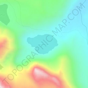
Name: Vishansar topographic map, elevation, terrain.
Location: Vishansar, Gurez, Bandipore District, Jammu and Kashmir, India (34.38438 75.11238 34.39060 75.12406)
Average elevation: 3,858 m
Minimum elevation: 3,602 m
Maximum elevation: 4,430 m
Thank you for supporting this site ❤️
Make a donation
Make a donation