
Thank you for supporting this site ❤️
Make a donation
Make a donation
Lexington topographic map
Click on the map to display elevation.
Thank you for supporting this site ❤️
Make a donation
Make a donation
About this map
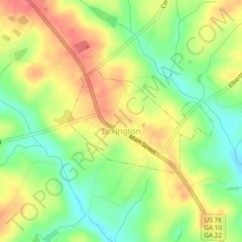
Name: Lexington topographic map, elevation, terrain.
Location: Lexington, Oglethorpe County, Georgia, United States (33.86503 -83.11900 33.87677 -83.09936)
Average elevation: 201 m
Minimum elevation: 170 m
Maximum elevation: 230 m
Thank you for supporting this site ❤️
Make a donation
Make a donation