
Mojolangu topographic map
Interactive map
Click on the map to display elevation.
About this map
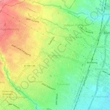
Name: Mojolangu topographic map, elevation, terrain.
Average elevation: 484 m
Minimum elevation: 447 m
Maximum elevation: 527 m
Other topographic maps
Click on a map to view its topography, its elevation and its terrain.
Sungai Metro
Indonesia > East Java > Kota Malang > Malang > Sukun
Sungai Metro, Sukun, Malang, Kota Malang, East Java, Java, 65148, Indonesia
Average elevation: 429 m