
Bir Gagra topographic map
Interactive map
Click on the map to display elevation.
About this map
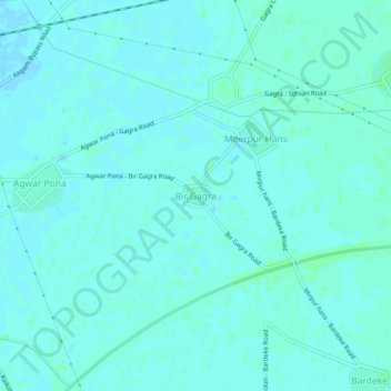
Name: Bir Gagra topographic map, elevation, terrain.
Location: Bir Gagra, Ludhiana, Panyab, 142026, India (30.76471 75.49373 30.80471 75.53373)
Average elevation: 235 m
Minimum elevation: 233 m
Maximum elevation: 239 m