
Les Poussards topographic map
Interactive map
Click on the map to display elevation.
About this map
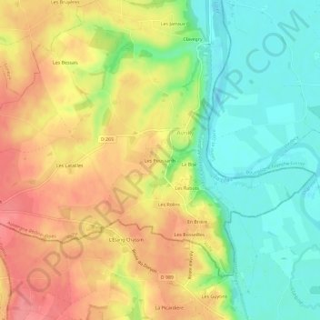
Name: Les Poussards topographic map, elevation, terrain.
Average elevation: 272 m
Minimum elevation: 232 m
Maximum elevation: 313 m
Other topographic maps
Click on a map to view its topography, its elevation and its terrain.
En Brière
France > Auvergne-Rhône-Alpes > Allier > Avrilly
En Brière, Avrilly, Vichy, Allier, Auvergne-Rhône-Alpes, France métropolitaine, 03130, France
Average elevation: 268 m