
Challand Saint Anselme Capoluogo - Quincod topographic map
Interactive map
Click on the map to display elevation.
About this map
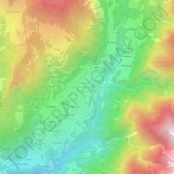
Name: Challand Saint Anselme Capoluogo - Quincod topographic map, elevation, terrain.
Average elevation: 1,283 m
Minimum elevation: 714 m
Maximum elevation: 2,108 m