
Jura topographic map
Interactive map
Click on the map to display elevation.
About this map
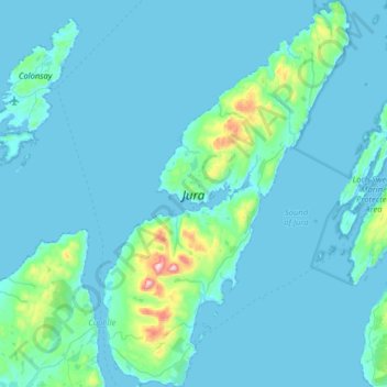
Name: Jura topographic map, elevation, terrain.
Location: Jura, Argyll y Bute, Escocia, Reino Unido (55.79162 -6.09660 56.14973 -5.68739)
Average elevation: 49 m
Minimum elevation: -2 m
Maximum elevation: 774 m