
Galegos topographic map
Interactive map
Click on the map to display elevation.
About this map
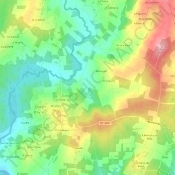
Name: Galegos topographic map, elevation, terrain.
Location: Galegos, Frades, Ordes, La Coruña, Galicia, España (43.03403 -8.35598 43.06049 -8.29617)
Average elevation: 334 m
Minimum elevation: 270 m
Maximum elevation: 421 m