
Mounts topographic map
Interactive map
Click on the map to display elevation.
About this map
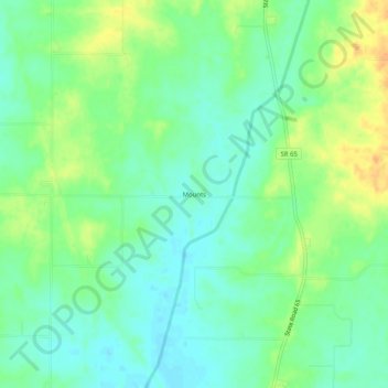
Name: Mounts topographic map, elevation, terrain.
Location: Mounts, Gibson County, Indiana, 47612, United States (38.21060 -87.72641 38.25060 -87.68641)
Average elevation: 141 m
Minimum elevation: 128 m
Maximum elevation: 161 m
Other topographic maps
Click on a map to view its topography, its elevation and its terrain.
Princeton
United States > Indiana > Gibson County
Princeton, Gibson County, Indiana, 47670, United States
Average elevation: 149 m
East Mount Carmel
United States > Indiana > Gibson County > White River
East Mount Carmel, White River, Gibson County, Indiana, United States
Average elevation: 122 m
Patoka River
United States > Indiana > Gibson County
Patoka River, Gibson County, Indiana, United States
Average elevation: 129 m
Fort Branch
United States > Indiana > Gibson County > Fort Branch
Fort Branch, Gibson County, Indiana, 47648, United States
Average elevation: 136 m
Owensville
United States > Indiana > Gibson County
Owensville, Gibson County, Indiana, 47665, United States
Average elevation: 152 m