
Jammu and Kashmir topographic map
Interactive map
Click on the map to display elevation.
About this map
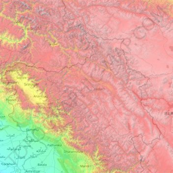
Name: Jammu and Kashmir topographic map, elevation, terrain.
Location: Jammu and Kashmir, India (31.48766 74.23729 36.60766 79.35729)
Average elevation: 3,848 m
Minimum elevation: 196 m
Maximum elevation: 8,279 m