
Thank you for supporting this site ❤️
Make a donation
Make a donation
Hovingham topographic map
Click on the map to display elevation.
Thank you for supporting this site ❤️
Make a donation
Make a donation
About this map
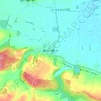
Name: Hovingham topographic map, elevation, terrain.
Location: Hovingham, North Yorkshire, England, YO62 4JU, United Kingdom (54.15204 -0.99946 54.19204 -0.95946)
Average elevation: 51 m
Minimum elevation: 25 m
Maximum elevation: 119 m
Thank you for supporting this site ❤️
Make a donation
Make a donation
Other topographic maps
Click on a map to view its topography, its elevation and its terrain.