
Soraku County topographic map
Interactive map
Click on the map to display elevation.
About this map
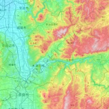
Name: Soraku County topographic map, elevation, terrain.
Location: Soraku County, Kyoto Prefecture, Japan (34.70606 135.73626 34.85501 136.05548)
Average elevation: 236 m
Minimum elevation: 6 m
Maximum elevation: 668 m
Other topographic maps
Click on a map to view its topography, its elevation and its terrain.