
Mosteiro topographic map
Interactive map
Click on the map to display elevation.
About this map
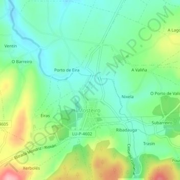
Name: Mosteiro topographic map, elevation, terrain.
Location: Mosteiro, Pol, Meira, Lugo, Galicia, España (43.12643 -7.36126 43.13997 -7.34687)
Average elevation: 513 m
Minimum elevation: 466 m
Maximum elevation: 610 m
Other topographic maps
Click on a map to view its topography, its elevation and its terrain.