
Airas topographic map
Interactive map
Click on the map to display elevation.
About this map
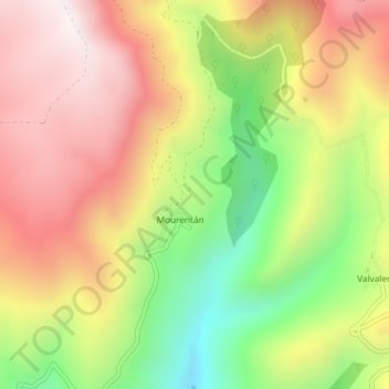
Name: Airas topographic map, elevation, terrain.
Location: Airas, Ibias, Astúrias, Espanha (43.08554 -6.84052 43.10554 -6.82052)
Average elevation: 842 m
Minimum elevation: 400 m
Maximum elevation: 1,226 m
Other topographic maps
Click on a map to view its topography, its elevation and its terrain.