
Jhabua topographic map
Interactive map
Click on the map to display elevation.
About this map
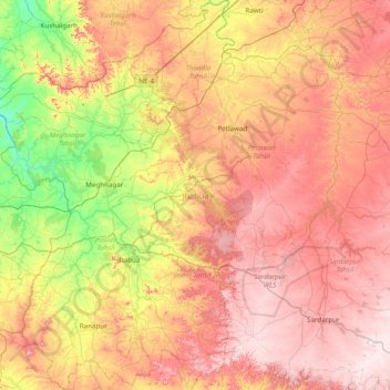
Name: Jhabua topographic map, elevation, terrain.
Location: Jhabua, Madhya Pradesh, India (22.52941 74.31890 23.24455 75.01596)
Average elevation: 408 m
Minimum elevation: 227 m
Maximum elevation: 576 m