
La Cachora topographic map
Interactive map
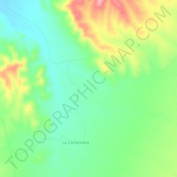
Click on the map to display elevation.
About this map
Name: La Cachora topographic map, elevation, terrain.
Location: La Cachora, Pitiquito, Sonora, Mexique (30.15150 -111.92867 30.19150 -111.88867)
Average elevation: 589 m
Minimum elevation: 541 m
Maximum elevation: 671 m