
Halsberg topographic map
Interactive map
Click on the map to display elevation.
About this map
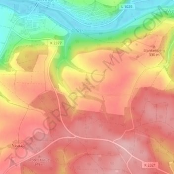
Name: Halsberg topographic map, elevation, terrain.
Location: Halsberg, Schöntal, Hohenlohekreis, Baden-Württemberg, Duitsland (49.32986 9.53657 49.33119 9.53851)
Average elevation: 307 m
Minimum elevation: 210 m
Maximum elevation: 363 m