
Little Brak River topographic map
Interactive map
Click on the map to display elevation.
About this map
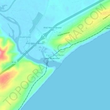
Name: Little Brak River topographic map, elevation, terrain.
Location: Little Brak River, George, Western Cape, 6503, South Africa (-34.10778 22.12778 -34.06778 22.16778)
Average elevation: 17 m
Minimum elevation: -2 m
Maximum elevation: 113 m
Other topographic maps
Click on a map to view its topography, its elevation and its terrain.