
Pant-glas topographic map
Interactive map
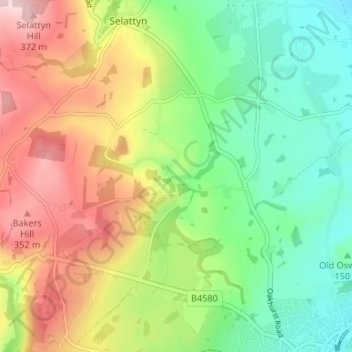
Click on the map to display elevation.
About this map
Name: Pant-glas topographic map, elevation, terrain.
Average elevation: 223 m
Minimum elevation: 112 m
Maximum elevation: 381 m
Other topographic maps
Click on a map to view its topography, its elevation and its terrain.
Weston
United Kingdom > England > Shropshire > Oswestry
Weston, Oswestry Rural, Oswestry, Shropshire, England, SY10 9ES, United Kingdom
Average elevation: 114 m