
Athens topographic map
Interactive map
Click on the map to display elevation.
About this map
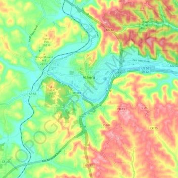
Name: Athens topographic map, elevation, terrain.
Location: Athens, Athens County, Ohio, 45701, USA (39.28632 -82.14270 39.36074 -82.01924)
Average elevation: 241 m
Minimum elevation: 185 m
Maximum elevation: 309 m