
Kedungkandang topographic map
Interactive map
Click on the map to display elevation.
About this map
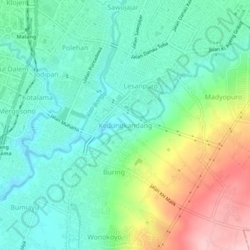
Name: Kedungkandang topographic map, elevation, terrain.
Location: Kedungkandang, Kota Malang, East Java, 65121, Indonesia (-8.01242 112.63295 -7.97242 112.67295)
Average elevation: 464 m
Minimum elevation: 404 m
Maximum elevation: 598 m