
Watford topographic map
Interactive map
Click on the map to display elevation.
About this map
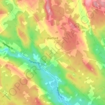
Name: Watford topographic map, elevation, terrain.
Location: Watford, Lunenburg County, Nova Scotia, Canada (44.51171 -64.70300 44.55567 -64.63502)
Average elevation: 92 m
Minimum elevation: 33 m
Maximum elevation: 146 m