
Verín topographic map
Interactive map
Click on the map to display elevation.
About this map
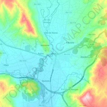
Name: Verín topographic map, elevation, terrain.
Location: Verín, Ourense, Galiza, 32600, Espanha (41.90061 -7.48060 41.98061 -7.40060)
Average elevation: 458 m
Minimum elevation: 366 m
Maximum elevation: 761 m