
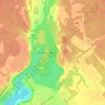
Rivière Mistassibi topographic map
Interactive map
Click on the map to display elevation.
About this map
Name: Rivière Mistassibi topographic map, elevation, terrain.
Average elevation: 138 m
Minimum elevation: 102 m
Maximum elevation: 154 m
Other topographic maps
Click on a map to view its topography, its elevation and its terrain.
Île aux Lièvres
Canada > Québec > Dolbeau-Mistassini
Île aux Lièvres, Dolbeau-Mistassini, Maria-Chapdelaine, Saguenay - Lac-Saint-Jean, Québec, Canada
Average elevation: 194 m