
Koningshooikt topographic map
Interactive map
Click on the map to display elevation.
Koningshooikt
De Itterbeek is een kleine beek die uitmondt in de Nete ter hoogte van Duffel en zorgde in 1998 voor overstromingen.
About this map
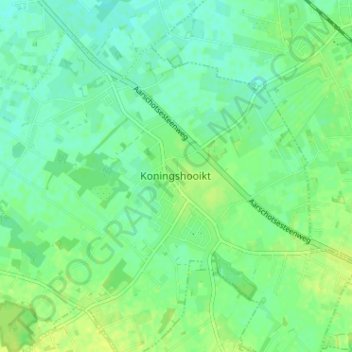
Name: Koningshooikt topographic map, elevation, terrain.
Location: Koningshooikt, Lier, Antwerpen, Vlaanderen, 2500, België (51.07656 4.58972 51.11656 4.62972)
Average elevation: 9 m
Minimum elevation: 2 m
Maximum elevation: 16 m