
Dickens topographic map
Interactive map
Click on the map to display elevation.
About this map
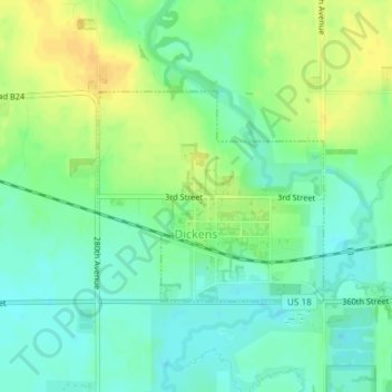
Name: Dickens topographic map, elevation, terrain.
Location: Dickens, Clay County, Iowa, United States (43.12680 -95.03309 43.14133 -95.01175)
Average elevation: 406 m
Minimum elevation: 394 m
Maximum elevation: 421 m
Other topographic maps
Click on a map to view its topography, its elevation and its terrain.
Spencer
United States > Iowa > Clay County
Spencer, Clay County, Iowa, 51301, United States
Average elevation: 406 m
Royal
United States > Iowa > Clay County
Royal, Clay County, Iowa, United States
Average elevation: 429 m
Birchwood Estates
United States > Iowa > Clay County > Spencer > Birchwood Estates
Birchwood Estates, Spencer, Clay County, Iowa, 51301, United States
Average elevation: 403 m