
Ozark topographic map
Interactive map
Click on the map to display elevation.
About this map
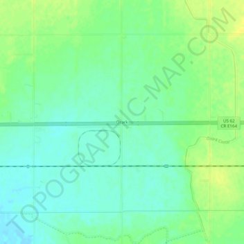
Name: Ozark topographic map, elevation, terrain.
Location: Ozark, Jackson County, Oklahoma, United States (34.61813 -99.23175 34.65813 -99.19175)
Average elevation: 406 m
Minimum elevation: 397 m
Maximum elevation: 417 m
Other topographic maps
Click on a map to view its topography, its elevation and its terrain.
Altus
United States > Oklahoma > Jackson County
Altus, Jackson County, Oklahoma, 73521, United States
Average elevation: 424 m