
Vernier topographic map
Interactive map
Click on the map to display elevation.
About this map
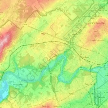
Name: Vernier topographic map, elevation, terrain.
Location: Vernier, Genève, 1214, Suisse (46.17318 6.04158 46.25318 6.12158)
Average elevation: 421 m
Minimum elevation: 347 m
Maximum elevation: 509 m