
Antsolokueta topographic map
Interactive map
Click on the map to display elevation.
About this map
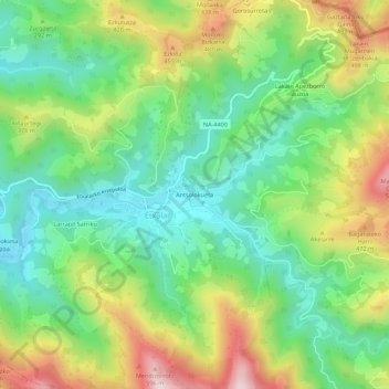
Name: Antsolokueta topographic map, elevation, terrain.
Location: Antsolokueta, Etxalar, Baztan-Bidasoa, Navarra, 31760, Espanha (43.21568 -1.65208 43.25568 -1.61208)
Average elevation: 273 m
Minimum elevation: 70 m
Maximum elevation: 617 m