
Piloto topographic map
Interactive map
Click on the map to display elevation.
About this map
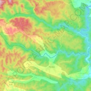
Name: Piloto topographic map, elevation, terrain.
Location: Piloto, San Luis, Santiago de Cuba, Cuba (20.43122 -75.75333 20.45737 -75.64889)
Average elevation: 284 m
Minimum elevation: 77 m
Maximum elevation: 602 m
Other topographic maps
Click on a map to view its topography, its elevation and its terrain.