
Izbat Tall al Hajaj topographic map
Interactive map
Click on the map to display elevation.
About this map
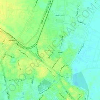
Name: Izbat Tall al Hajaj topographic map, elevation, terrain.
Location: Izbat Tall al Hajaj, Suez, 43515, Egypt (29.96417 32.52528 30.00417 32.56528)
Average elevation: 10 m
Minimum elevation: 0 m
Maximum elevation: 21 m
Other topographic maps
Click on a map to view its topography, its elevation and its terrain.