
Fenoughil topographic map
Interactive map
Click on the map to display elevation.
About this map
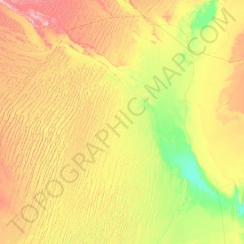
Name: Fenoughil topographic map, elevation, terrain.
Location: Fenoughil, Daïra de Fenoughil, Adrar, Algérie (27.45316 -2.98301 27.76152 0.59437)
Average elevation: 308 m
Minimum elevation: 146 m
Maximum elevation: 723 m