
Lühnde topographic map
Interactive map
Click on the map to display elevation.
About this map
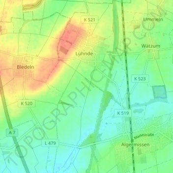
Name: Lühnde topographic map, elevation, terrain.
Average elevation: 83 m
Minimum elevation: 65 m
Maximum elevation: 110 m
Other topographic maps
Click on a map to view its topography, its elevation and its terrain.
Bledeln
Deutschland > Niedersachsen > Landkreis Hildesheim > Algermissen
Bledeln, Algermissen, Landkreis Hildesheim, Niedersachsen, Deutschland
Average elevation: 86 m