
Castedo topographic map
Interactive map
Click on the map to display elevation.
About this map
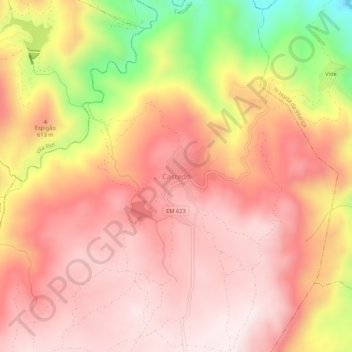
Name: Castedo topographic map, elevation, terrain.
Location: Castedo, Torre de Moncorvo, Distrito de Bragança, Portugal (41.21189 -7.19070 41.25189 -7.15070)
Average elevation: 565 m
Minimum elevation: 186 m
Maximum elevation: 747 m