
Thank you for supporting this site ❤️
Make a donation
Make a donation
Rotan topographic map
Click on the map to display elevation.
Thank you for supporting this site ❤️
Make a donation
Make a donation
About this map
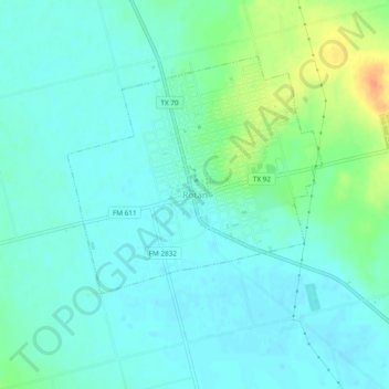
Name: Rotan topographic map, elevation, terrain.
Location: Rotan, Fisher County, Texas, 79546, United States (32.83205 -100.48566 32.87205 -100.44566)
Average elevation: 598 m
Minimum elevation: 588 m
Maximum elevation: 630 m
Thank you for supporting this site ❤️
Make a donation
Make a donation