
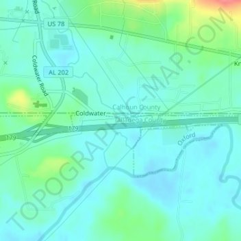
Oxford topographic map
Interactive map
Click on the map to display elevation.
About this map
Name: Oxford topographic map, elevation, terrain.
Location: Oxford, Talladega County, Alabama, United States (33.58505 -85.91452 33.58572 -85.91409)
Average elevation: 185 m
Minimum elevation: 169 m
Maximum elevation: 240 m