
Jaar topographic map
Interactive map
Click on the map to display elevation.
About this map
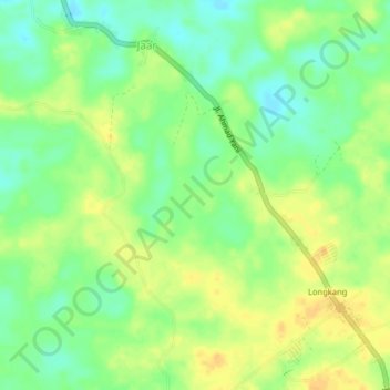
Name: Jaar topographic map, elevation, terrain.
Location: Jaar, Central Kalimantan, Indonesia (-2.17559 115.19294 -2.13559 115.23294)
Average elevation: 25 m
Minimum elevation: 9 m
Maximum elevation: 39 m