
Eastnor topographic map
Interactive map
Click on the map to display elevation.
About this map
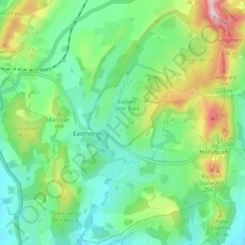
Name: Eastnor topographic map, elevation, terrain.
Location: Eastnor, Herefordshire, England, United Kingdom (52.01178 -2.41398 52.05759 -2.34695)
Average elevation: 140 m
Minimum elevation: 60 m
Maximum elevation: 321 m