
Tegal Harum topographic map
Interactive map
Click on the map to display elevation.
About this map
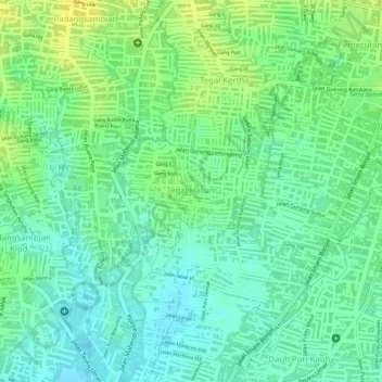
Name: Tegal Harum topographic map, elevation, terrain.
Location: Tegal Harum, Denpasar Barat, Denpasar, Bali, Indonesia (-8.67314 115.18958 -8.66156 115.20073)
Average elevation: 19 m
Minimum elevation: 8 m
Maximum elevation: 32 m