
Santalla topographic map
Interactive map
Click on the map to display elevation.
About this map
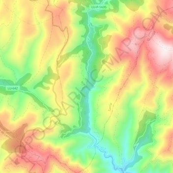
Name: Santalla topographic map, elevation, terrain.
Location: Santalla, Samos, Sarria, Lugo, Galiza, Espanha (42.60339 -7.29205 42.67272 -7.22673)
Average elevation: 929 m
Minimum elevation: 482 m
Maximum elevation: 1,449 m