
Bukit Baka Bukit Raya National Park topographic map
Interactive map
Click on the map to display elevation.
About this map
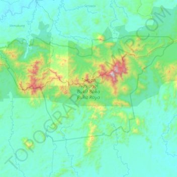
Name: Bukit Baka Bukit Raya National Park topographic map, elevation, terrain.
Average elevation: 307 m
Minimum elevation: 38 m
Maximum elevation: 2,264 m