
Los Valles topographic map
Interactive map
Click on the map to display elevation.
About this map
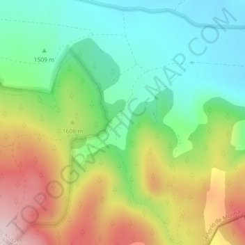
Name: Los Valles topographic map, elevation, terrain.
Average elevation: 1,563 m
Minimum elevation: 1,411 m
Maximum elevation: 1,803 m
Other topographic maps
Click on a map to view its topography, its elevation and its terrain.
Alustante
Espagne > Castille-La Manche > Alustante
Alustante, Guadalajara, Castille-La Manche, Espagne
Average elevation: 1,474 m