
Thank you for supporting this site ❤️
Make a donation
Make a donation
Auburn topographic map
Click on the map to display elevation.
Thank you for supporting this site ❤️
Make a donation
Make a donation
About this map
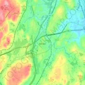
Name: Auburn topographic map, elevation, terrain.
Location: Auburn, Worcester County, Massachusetts, United States (42.15983 -71.89514 42.23126 -71.79633)
Average elevation: 187 m
Minimum elevation: 123 m
Maximum elevation: 292 m
Thank you for supporting this site ❤️
Make a donation
Make a donation