
Ilhas topographic map
Interactive map
Click on the map to display elevation.
About this map
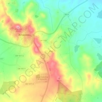
Name: Ilhas topographic map, elevation, terrain.
Location: Ilhas, Arraiolos, Évora, Alentejo, 7040-067, Portugal (38.69637 -7.99161 38.73637 -7.95161)
Average elevation: 304 m
Minimum elevation: 233 m
Maximum elevation: 394 m