
Nachtegalenhof topographic map
Interactive map
Click on the map to display elevation.
About this map
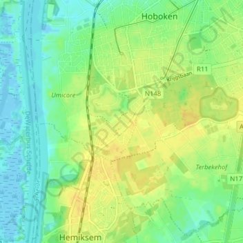
Name: Nachtegalenhof topographic map, elevation, terrain.
Location: Nachtegalenhof, Hoboken, Antwerpen, Vlaanderen, 2620, België (51.14208 4.33182 51.18208 4.37182)
Average elevation: 11 m
Minimum elevation: -6 m
Maximum elevation: 23 m
Other topographic maps
Click on a map to view its topography, its elevation and its terrain.