
García Sola topographic map
Interactive map
Click on the map to display elevation.
About this map
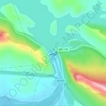
Name: García Sola topographic map, elevation, terrain.
Location: García Sola, Talarrubias, Badajoz, Extremadura, España (39.14379 -5.18578 39.14474 -5.18317)
Average elevation: 393 m
Minimum elevation: 316 m
Maximum elevation: 638 m
Other topographic maps
Click on a map to view its topography, its elevation and its terrain.
Puerto Peña
España > Extremadura > Talarrubias
Puerto Peña, Talarrubias, Badajoz, Extremadura, España
Average elevation: 398 m